

The shortest way is notthe coolest way.
Shadeside plans walking routes through the shade — real shadows of real buildings and trees, computed for your exact time of day.
Real shadows
Real buildings. Real shadows.
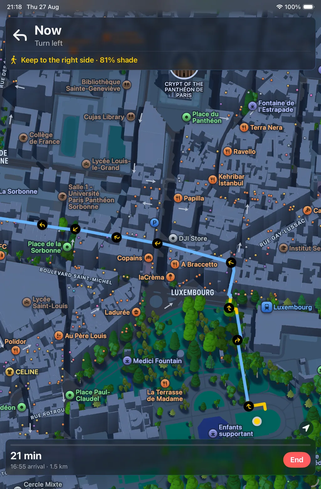
Building heights come from OpenStreetMap. The sun position is the NOAA solar algorithm, computed on your phone for this minute. Trees count: on a hot afternoon a canopy shades the pavement more than a low-rise block.
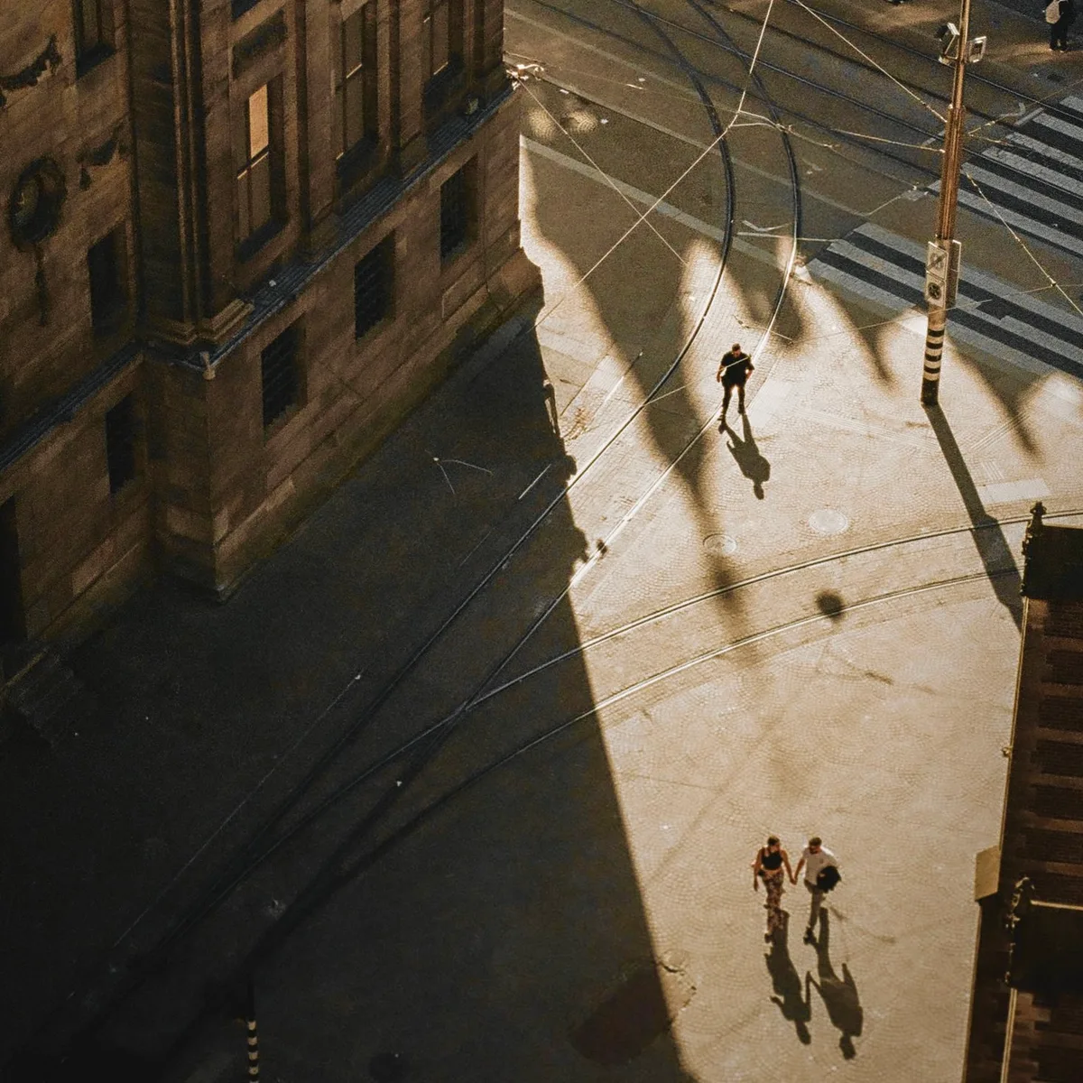
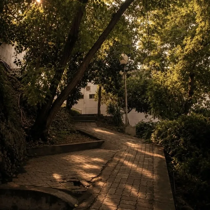
Shade, honestly computed.
Shade
Find the shady way.
Choose a route with more shade, then follow it as you walk. If you go off course, Shadeside updates the route and keeps you on the shadier path.
Plan
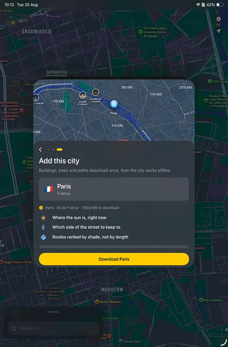
Plan for later.
See where the shade will be later in the day, and download the city before you leave so routing keeps working even without a signal.

Live
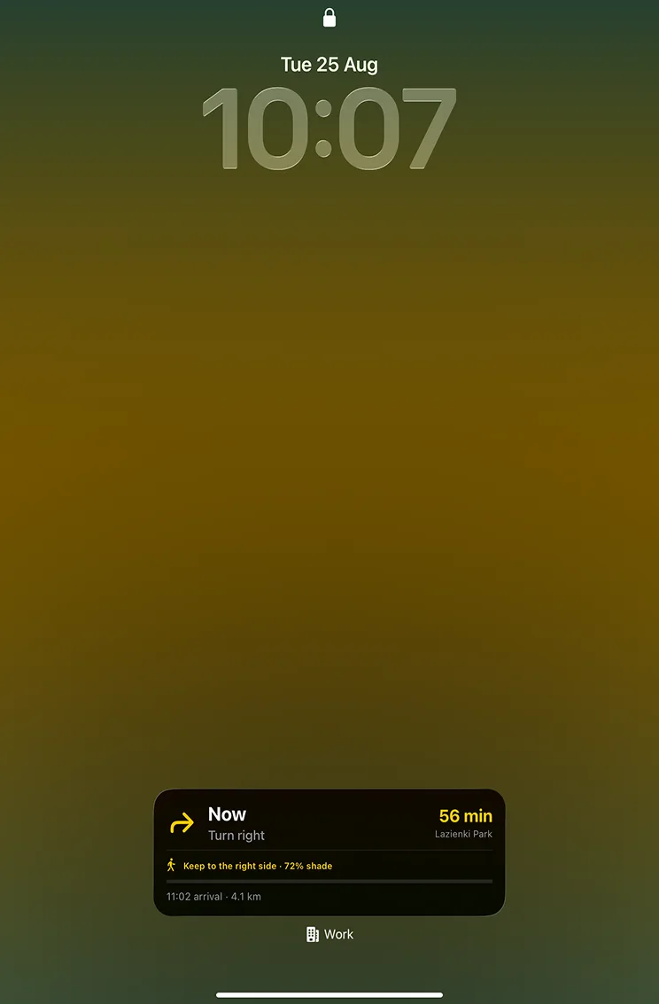
Keep your route in view.
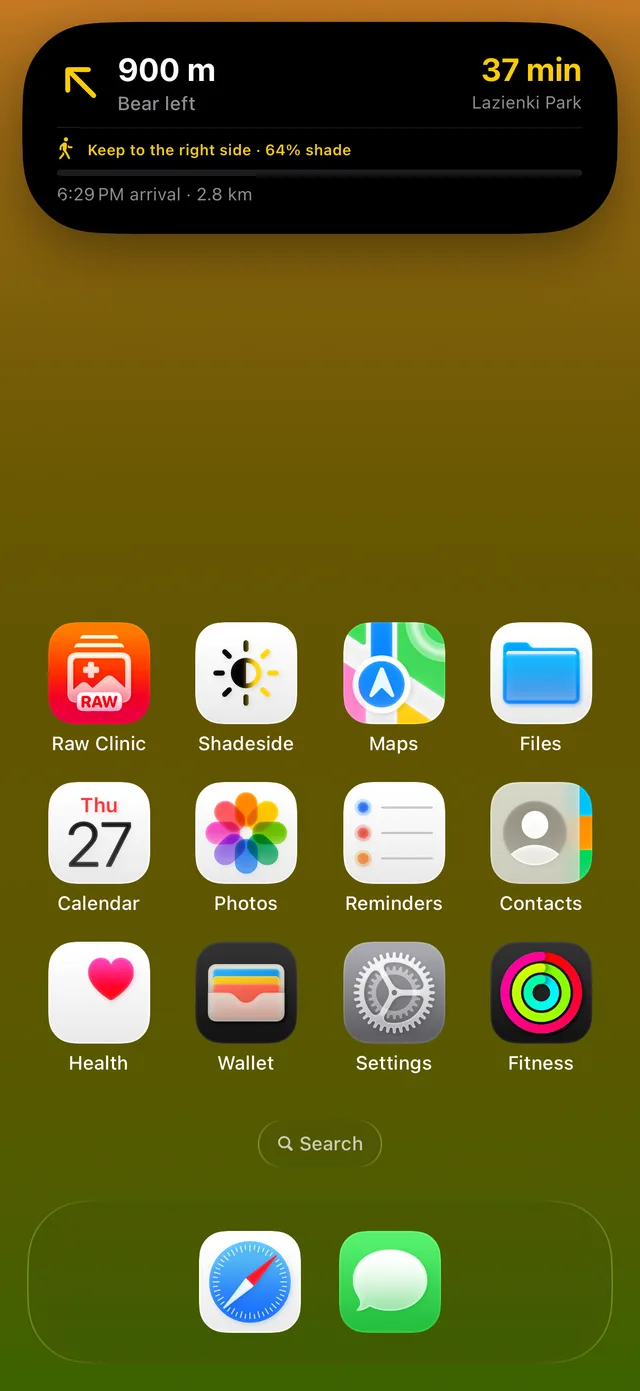
The Lock Screen and Dynamic Island show which side to keep to, how much of the walk is still in shade, and how far to your stop — so you do not have to unlock the phone to check.
Share
Share your walk.
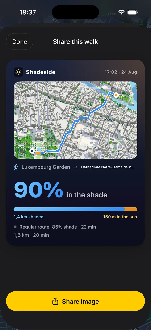
When you are done, turn the route into a card: the map, how much of the walk stayed in shade, and how that compared with the regular route — ready to send.

Get Shadeside
Download your city and take the cooler way home.
Available on the App Store